Policy brief
Status of mobility of livestock in Kenya: Mapping of livestock routes and case studies on mobility blockages
This policy brief assesses the status of livestock routes and mobility in Kenya. It sets out steps government can take to preserve these vital corridors.
Publisher SPARC
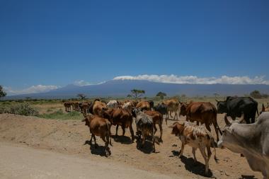
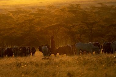
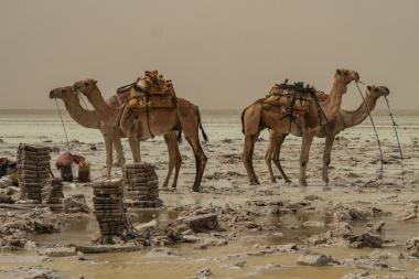
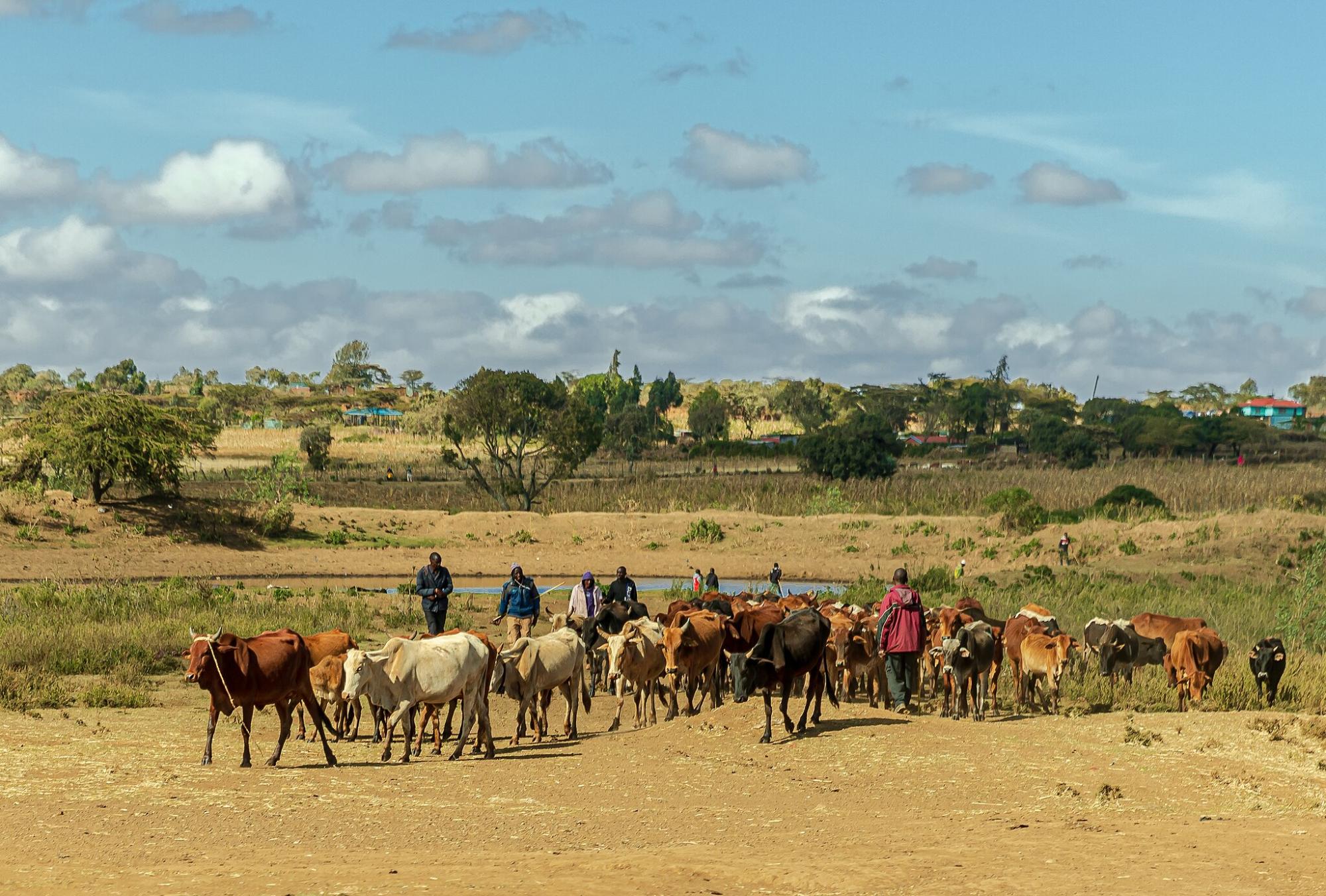
Livestock in Kenya play a critical role in the economy, contributing to food security, employment, and income generation, particularly in pastoral areas. However, livestock mobility is increasingly being restrained, which compromises livestock production.
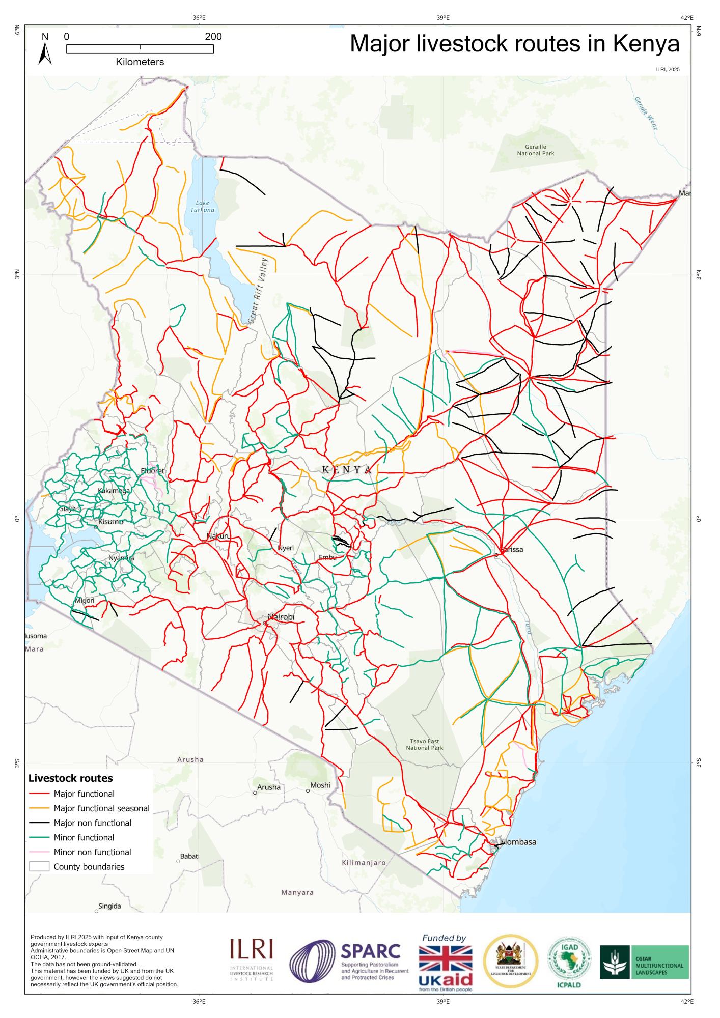
This brief assesses the status of livestock routes and mobility in Kenya. Livestock routes, supporting infrastructure and services were mapped by Kenya county government experts on topographical maps and later digitised. Blocked routes were noted, and case studies selected for follow up local-level qualitative research on causes of these blockages.
Findings:
- Mapping identified approximately 31,597 kilometres of livestock routes that form the arteries of movement across 47 counties in Kenya in both pastoral lowlands and mixed crop-livestock highlands. Routes are concentrated in the arid and semi-arid lands. More than 76 routes were no longer functional owing to land conversion for agriculture, urban expansion, invasive species, increasing conflict and infrastructure development.
- Facilities to support livestock mobility, such as veterinary posts, abattoirs, holding grounds and loading ramps, are scant, particularly in pastoral areas.
Policy implications:
- To preserve these vital corridors, government needs to set policies to recognize and legally protect livestock routes, and invest in veterinary services, abattoirs, holding grounds and loading ramps.
Download
application/pdf
192.63 KBapplication/pdf
1.14 MB