Workshop
Mapping major livestock routes in Kenya: partnering with the government and IGAD
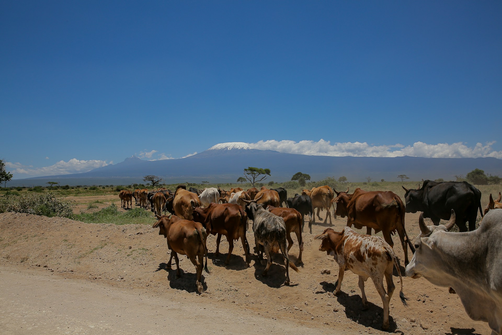
SPARC has joined the Kenyan government and IGAD to identify and map - for the first time - the country’s main livestock routes.
Event date and time - 9:00am EAT
SPARC is working with livestock experts in the national and county governments of Kenya and the Intergovernmental Authority on Development (IGAD) to identify and map the country’s major livestock routes. This is the first time the exact location and condition of livestock routes across the country are being mapped.
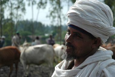
SPARC, through member organisation the International Livestock Research Institute (ILRI), is leading this process after the IGAD Centre for Pastoral Areas and Livestock Development (ICPALD) asked for support as a key contribution to the implementation of the IGAD Transhumance Protocol.
A preliminary mapping workshop will take place from Tuesday, May 27th to Thursday, May 29th in Nairobi, Kenya. Participants will gather to pinpoint and map main livestock routes across the country, and associated services – including water points, pasture areas, infrastructure, proximity to markets and conflict points.
The participatory process will include mapping livestock routes on to country/region level topographical maps, and the listing of services and their status before the maps are validated. Once finalised, digital versions of the maps will be shared with government stakeholders. The maps will inform the national information systems the government uses to make decisions about protecting routes and providing services along them. This includes land use and development planning, for natural resource management, and for service delivery for livestock and people.
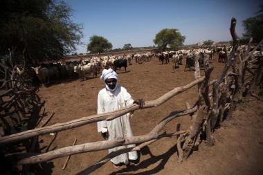
SPARC convened a similar workshop, working with experts from the Ethiopian government and IGAD, in February. Find out more about the mapping workshop in Ethiopia in this blog.
The workshops are part of continuing research SPARC is conducting on the ‘Mapping of livestock routes and land use changes in countries in the IGAD region’. This work includes exploring in detail instances where livestock routes have been blocked and/or conflict over use has arisen.